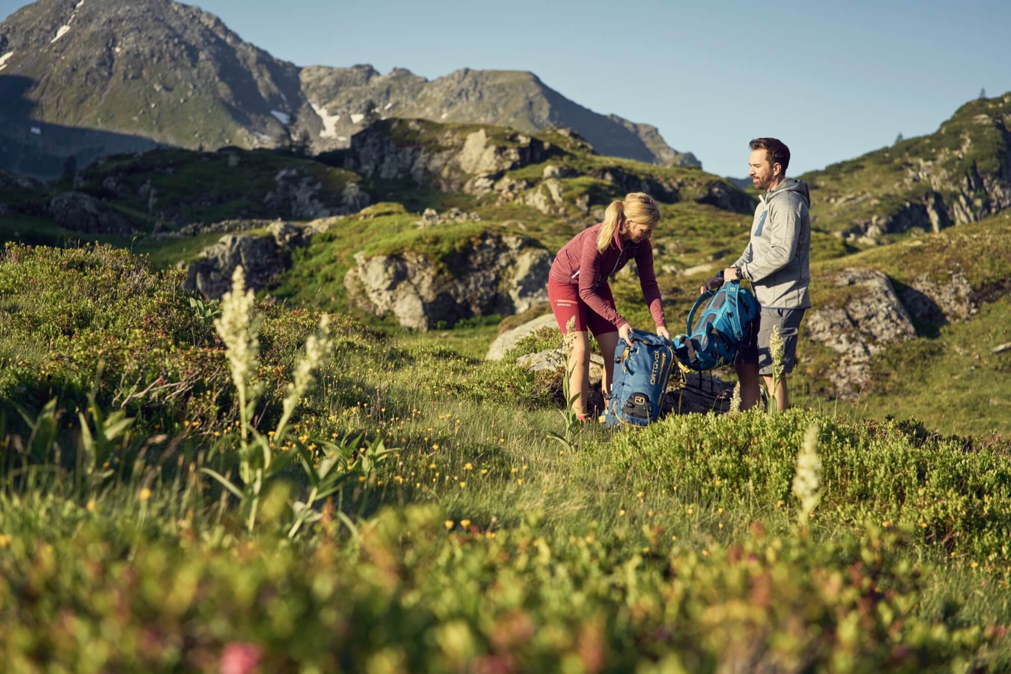
From Hotel nōa, first head towards the Protestant church before turning off into the Talbachklamm. The path leads through the impressive gorge up into the Untertal.
There, turn left onto Tälerstraße and follow it until the turn-off to Obertal appears on the right. In Obertal, stay on the asphalt road and drive further into the valley. At the Nickelmuseum, the surface changes to a gravel road that continues towards Eschachalm. This is a good opportunity for a comfortable stop to refresh yourself.
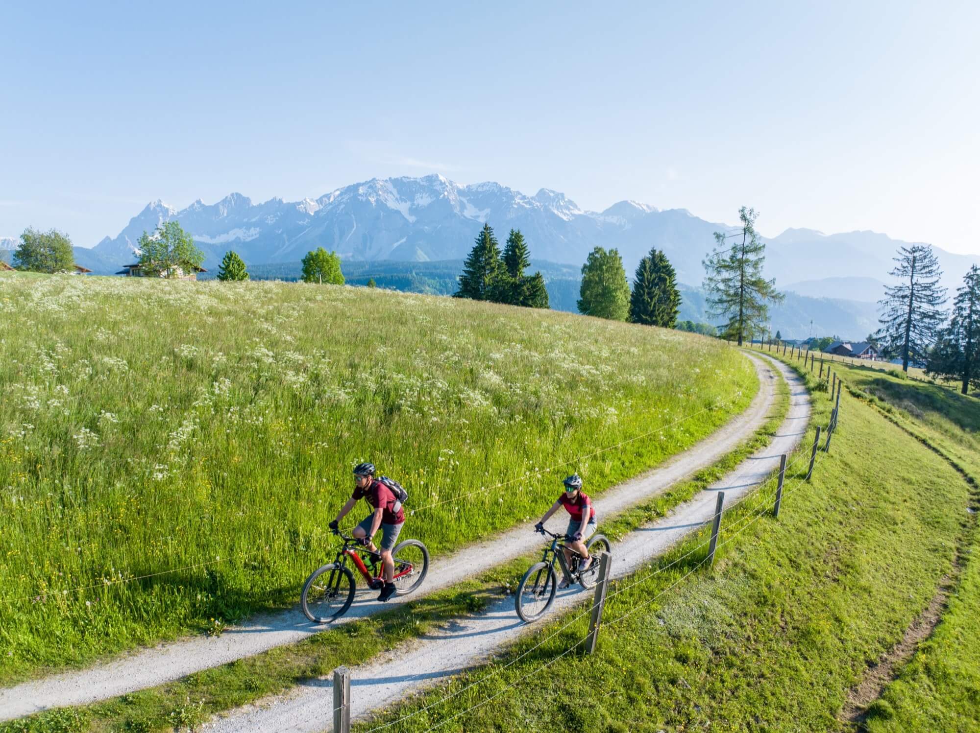
Afterwards, return along the same route. After Pension Bärnhofer, turn left, cross the Obertalbach, and follow the stream downstream. Via the Ahornweg, you reach the Obertalbahn – a quiet and scenic section across a beautiful meadow.
Continue downhill towards Rohrmoos. Once you reach Rohrmooserstraße, turn left, drive past the Hochwurzen valley station, and later follow Hohenstraße. Via Zainerweg, you reach Preuneggtal, cross the Strickerbrücke, and continue towards Pichl Badesee.
There you reach the Ennsradweg, which you follow downstream. You’ll comfortably roll back towards Schladming along the Enns river.
Distance: 43 km
Duration: 2 h
Ascent: 775 m
Descent: 775 m
Highest point: 1210 m
From Hotel nōa, the route leads via Birnberg to Ramsau. From Ramsau, it continues via Gasthof Edelbrunn to Brandalm, where an e-bike charging station is located. From Brandalm, it leads further through the idyllic alpine pasture area towards Bachlalm. After Bachlalm, the first longer descent begins to Filzmoos until the Grahsteg reservoir. Then continue to Mandlberggut, before returning to Schladming via Mandling and along the Ennsradweg.
Distance: 59 km
Duration: 4 h 10 min.
Ascent: 1480 m
Descent: 1480 m
Highest point: 1693 m
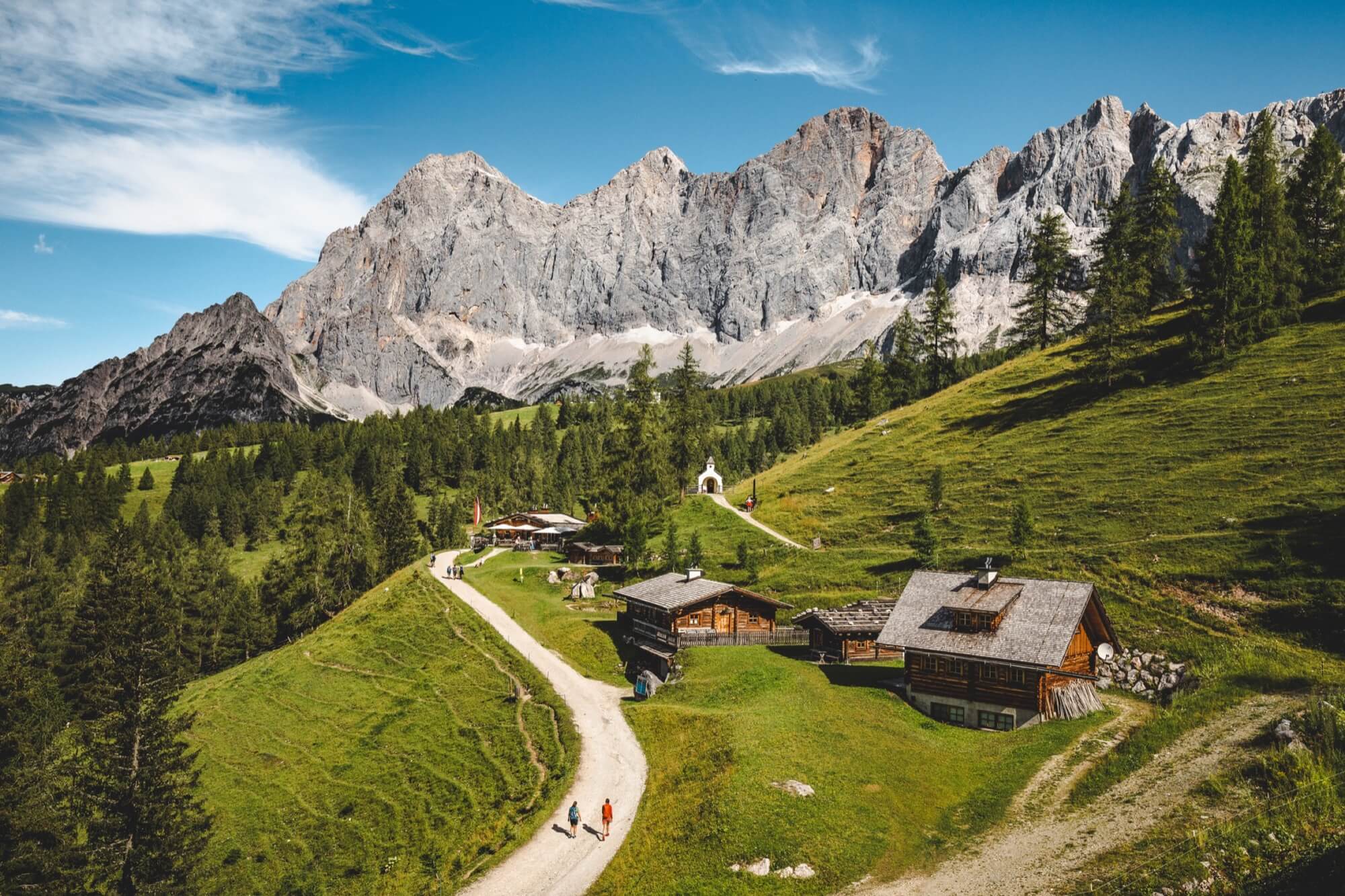
This varied tour leads through idyllic alpine landscapes up into high alpine terrain.
While the first part is leisurely, the final ascent to Oberhütte becomes noticeably challenging. Once at the top, a true natural gem awaits with Lake Oberhütte, as well as a cozy refreshment stop – perfect for recharging your batteries for the descent.
Distance: 40 km
Duration: 2 h 50 min.
Ascent: 981 m
Descent: 978 m
Highest point: 1866 m